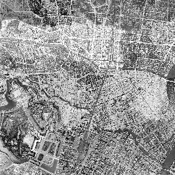
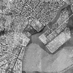
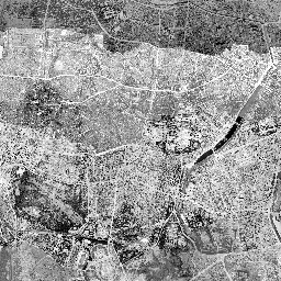
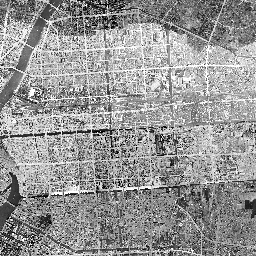
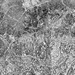
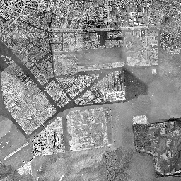
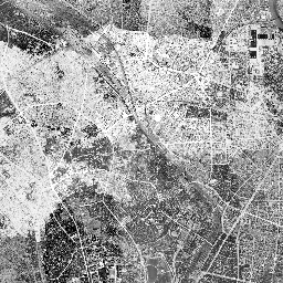
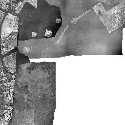
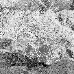
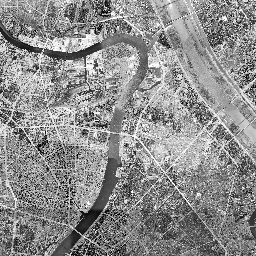
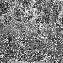
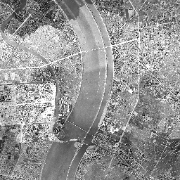
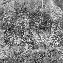
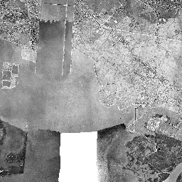
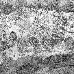
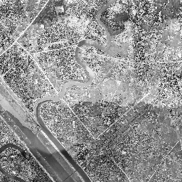
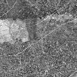
都電(東京市電)廃線跡 地図 13Default Extent 都電 角筈線・新宿線駅跡 おもに都電 路線跡 おもに都電 駅跡 標準 国土地理院 (1-18) 全国最新空中写真 国土地理院 (1-18) OpenStreetMap本家(1-19) OpenStreetMap日本(1-19) OpenTopoMap(1-17) Google Maps(1-21) Google Hyblid(1-21) Google Satellite(1-21) Google Terrain(1-21) Esri Topo(1-19) Esri Streets(1-19) Esri Imagery/Satellite(1-19) 全国ランドサットモザイク画像 (2-15) 写真 1945年~1950年 (10-17) 写真(東京・大阪)1936年~1942年 (10-17) 写真 1961年~1969年 (10-17) 写真 1974年~1978年 (10-17) 写真 1979年~1983年 (10-17) 写真 1984年~1986年 (10-17) 写真 1987年~1990年 (10-17) 電子国土基本図(2007年~) (14-18) 簡易空中写真(2004年~) (14-18) 今昔マップ 首都圏1896-1909年 今昔マップ 首都圏1917-1924年 今昔マップ 首都圏1927-1939年 今昔マップ 首都圏1944-1954年 今昔マップ 首都圏1965-1968年 今昔マップ 首都圏1975-1978年 今昔マップ 首都圏1983-1987年 今昔マップ 首都圏1992-1995年 今昔マップ 首都圏1998-2005年 今昔マップ 関東1894-1915年 今昔マップ 関東1928-1945年 今昔マップ 関東1972-1982年 今昔マップ 関東1988-2008年 明治期迅速測図(農業環境技術研究所)(-17) 数値地図25000(土地条件) (10-16) 土地条件図(初期整備版) (14-16) 活断層図(都市圏活断層図) (11-16) 治水地形分類図(2007~2021年) (11-16) 治水地形分類図(1976~1978年) (14-16) 明治期の低湿地 (10-16) 20万分1土地利用(1982~1983年) (11-14)3 kmLeaflet | Powered by Esri | 空中写真 1945年~1950年(国土地理院・米軍), Google Hyblid ←Move left→Move right↑Move up↓Move down+Zoom in-Zoom out This image is no longer available Rotate the view Keyboard shortcutsMap DataImage may be subject to copyrightTermsReport a problem 緯度: 経度: 参考記事:新宿遊歩道公園・四季の路(都電軌道跡) 全国(県別) > 関東 > 東京都 > 23区 > 地図 > leaflet > 鉄道(路線別) > 廃止鉄道(廃線) >